
Web Development
Crafting Digital
Crafting Digital
Experiences
From Concept to Code, Our Web Development Services Bring Your Vision to Life Online

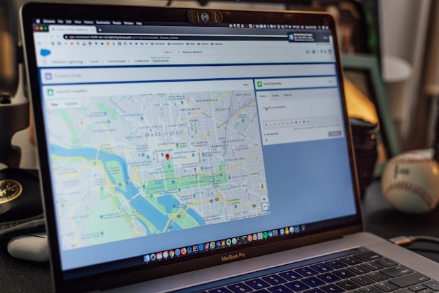
GIS Solutions
Unlocking Geospatial
Unlocking Geospatial
Insights Across Africa
Where GIS expertise meets Software Innovation — transforming complex spatial data into actionable intelligence.

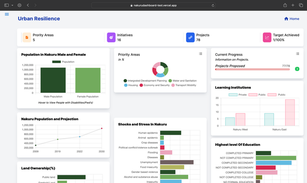
Research & Analysis
Dive Deeper,
Dive Deeper,
Gain Strategic Insights
Elevating decision-making through rigorous research and expert analysis aligned with global SDG goals.