GIS Mapping, Survey
GIS Mapping of Nakuru Urban Spaces to Inform Urban Dialogue
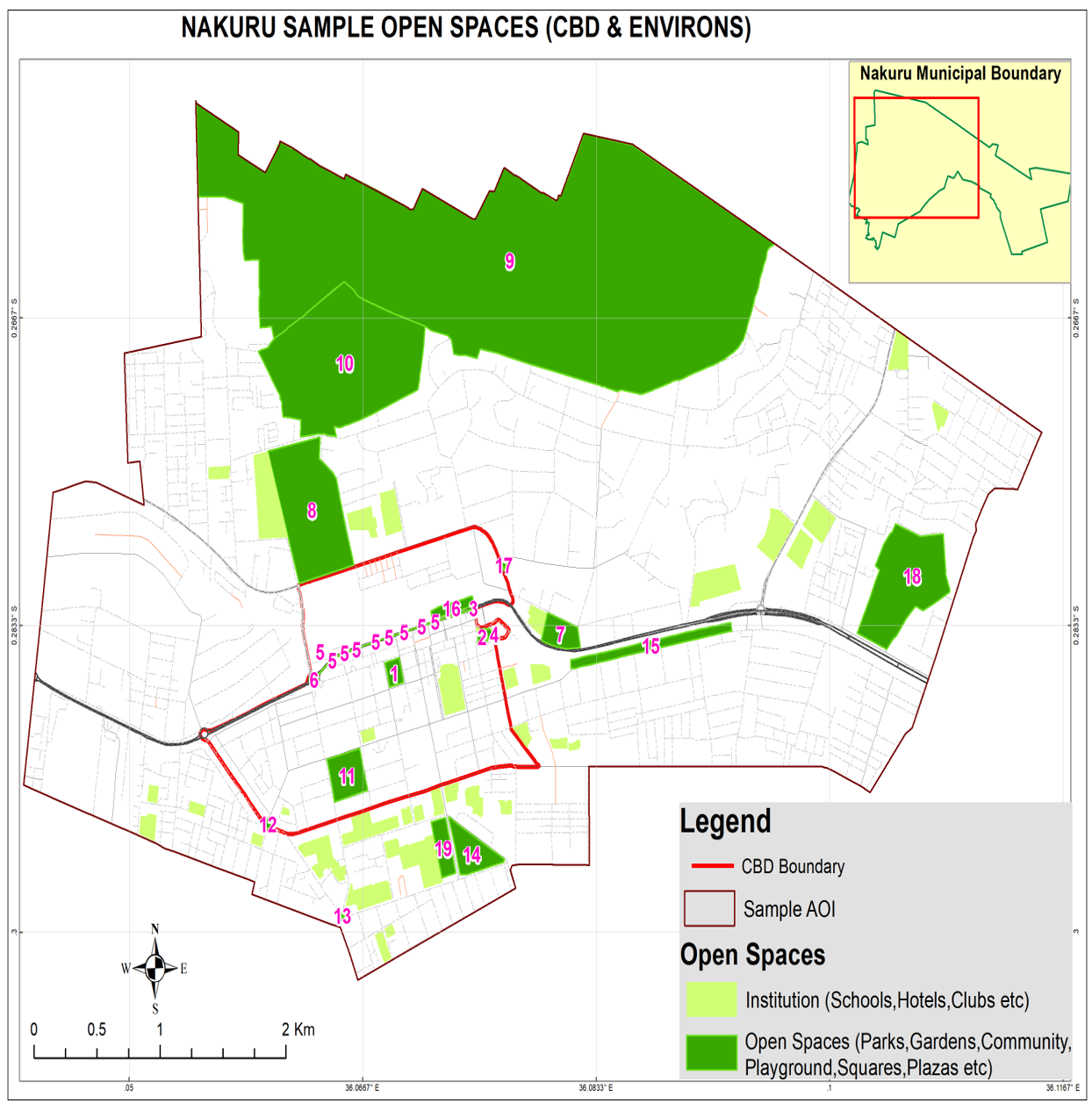
Geotechsys Africa Ltd, in collaboration with the Nakuru City Board, conducted a comprehensive GIS mapping exercise of open spaces within the city of Nakuru.
The objectives of this initiative were as follows:
- Identify and assess open spaces, proposing interventions for community needs.
- Map interlinkages of open spaces with public utilities for urban planning.
- Use data to inform long-term development strategies.
Impact of the Survey
Results revealed that 97.5 hectares of open spaces were in private hands, while 390.3 hectares were publicly owned by the county or national government.
The data shapes planning towards Nakuru Vision 2050, ensuring alignment with community needs. Open spaces include parks, gardens, playgrounds, etc. Mapping by Geotechsys Africa Ltd fosters a vibrant, inclusive, and sustainable urban environment in Nakuru.