GIS Mapping, Survey
Community Co-Design Participatory Planning Project – UCODE
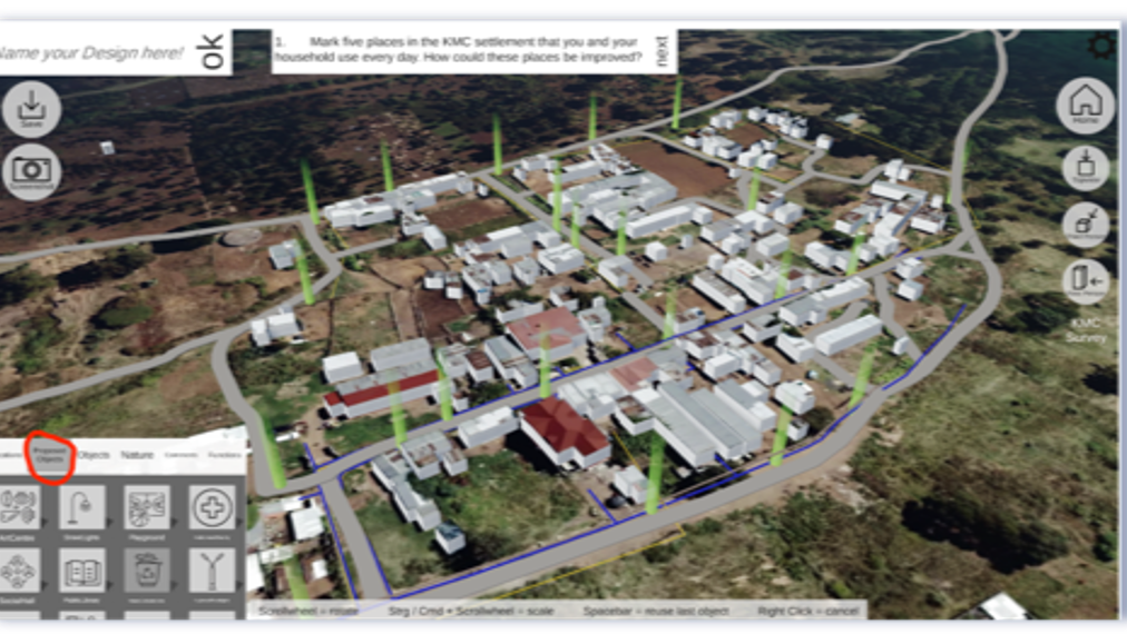
Geotechsys Africa, collaborating with partners www.kenya.fes.de, www.csudp.org, and www.tu-dresden.de, completed the Community Co-Design Participatory Planning Project (UCODE).
Our roles involved:
- Conducting settlement UCODE co-design campaigns.
- Developing online data collection tools.
- Overseeing data collection, analysis, reporting, and GIS Mapping.
- Facilitating training sessions for community members and city planning staff.
- Supporting the validation of intervention plans.
Outcomes
- Enhanced UCODE tool effectiveness.
- Diverse community expectations revealed.
- Diverse community expectations revealed.
- Generated intervention plans with strong community support.