GIS Mapping, Survey
Citizens Forum Handbook for Cities/Municipalities in Kenya
The Ministry of Lands, Public Works, Housing, and Urban Development, along with key partners, initiated a comprehensive survey under the Kenya Urban Support Program (KUSP) to assess urban governance and management practices across Kenya. Our role encompassed providing an online data collection tool, monitoring data collection, analysis, mapping, and reporting
The main objective was to validate the Guidebook for Urban Boards
in Kenya to enhance service delivery.
Key activities included:
- Supplying an online data collection tool.
- Monitoring data collection for accuracy.
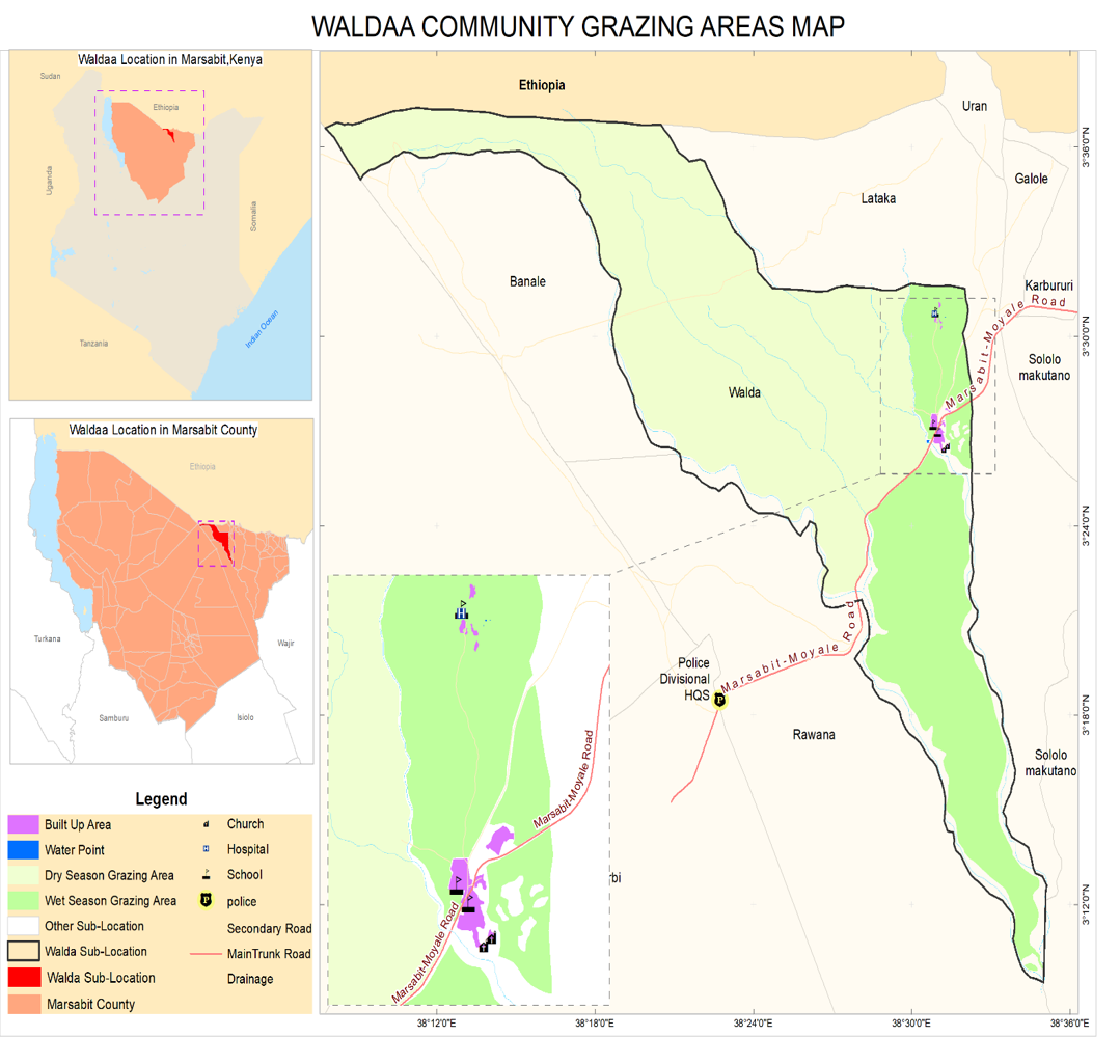
- Conducting thorough data analysis and GIS mapping.
- Producing detailed reports with findings and recommendations.
Through stakeholder engagement, the project gained insights into
challenges and opportunities for Citizens Forums in Kenya's urban
areas.
The validated Guidebook now supports Urban Boards to
improve service delivery.